Introduction
LiDAR technology, which stands for Light Detection and Ranging, has become a key technology enabling highly accurate mapping and 3D spatial awareness for autonomous vehicles, drones, and robotics applications. This remote sensing method provides detailed geometric measurements by actively scanning the environment with pulsed laser light. In recent years, lidar has moved out of specialized scientific applications and into the mainstream as a critical sensor for technologies such as self-driving cars. But how exactly does this impressive technology work?
How LiDAR Technology Works?

LiDAR technology systems emit rapid and short bursts of laser light towards a target area. The emitted light interacts with objects and surfaces, reflecting back to the LiDAR sensor. The system calculates the distance between the sensor and the object by measuring the time it takes for the light to return. This process is similar to how bats use echolocation to navigate in the dark.
- A lidar system includes a laser, a scanner, and a specialized GPS receiver.
- The laser emits ultrashort pulses of light, which bounce off any objects in the environment and return to the lidar sensor.
- The wavelength of light used is typically in the near-infrared range, usually 905nm or 1550nm, which allows longer distance mapping.
- The scanner directs the laser pulses across the environment in a sweeping motion. This allows the system to build up a 3D map of the scanned area.
- The time it takes for each pulse to return to the sensor is precisely measured. This time interval combined with the speed of light allows the system to calculate distances with high accuracy.
- When the laser light bounces off an object it scatters in many directions. The amount of light scattered back towards the lidar sensor determines the intensity of the return signal.
- Combining highly precise distance measurements and return intensity data allows lidar systems to create detailed 3D representations of the environment.
- The specialized GPS receiver enables precise geolocation of each lidar point measurement.
Components of a LiDAR System
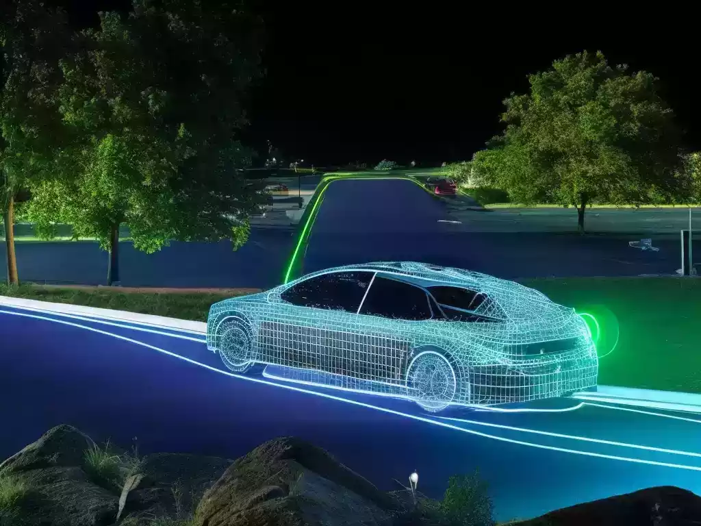
A LiDAR system consists of several key components :
- Laser Source: Emits short pulses of laser light. The active medium that produces the illumination, is often a semiconductor diode laser or fiber laser. Determines range, accuracy and pulse repetition rate.
- Scanning Mechanism: Directs the laser pulses to cover a specific area. Controls the direction of the laser beam and the field of view. Can be a rotating mirror or electronic scanning. Determines angular resolution.
- Photodetector: Receives and measures the reflected light. Detects the backscattered signals. Typically APDs or photomultiplier tubes. Determines distance measurement sensitivity.
- GPS Receiver and IMU: Provide precise location and orientation data. Provides precise geo-referencing of each data point. Usually, a GNSS receiver is combined with an inertial system.
LiDAR Data Acquisition Process
The data acquisition process involves :
● Emission of Laser Pulses :
The LiDAR sensor emits laser pulses towards the target.
● Measuring Return Time :
The sensor measures the time taken for the pulses to return.
● Calculating Distance :
Using the speed of light, the system calculates the distance to the object.
Applications of LiDAR Technology
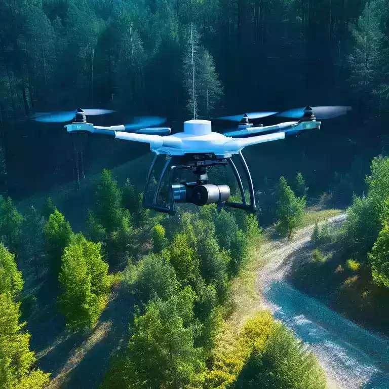
LiDAR finds applications in diverse fields :
▨ Autonomous Vehicles :
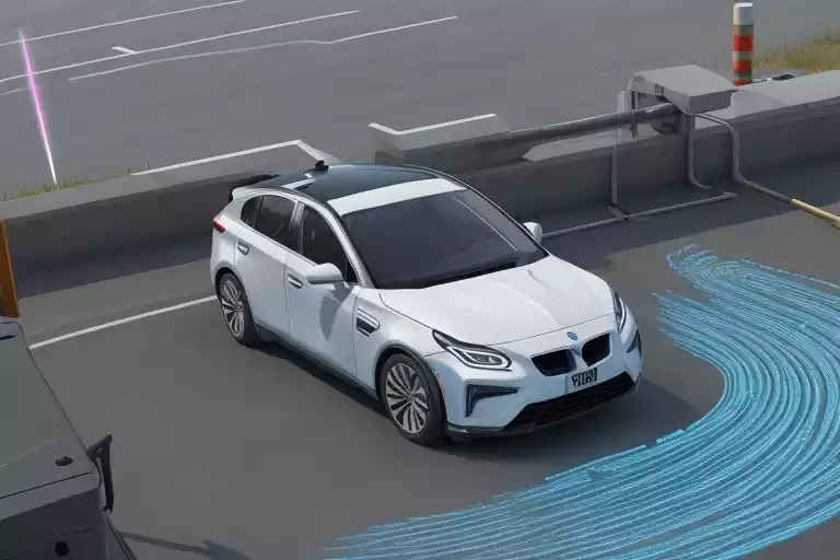
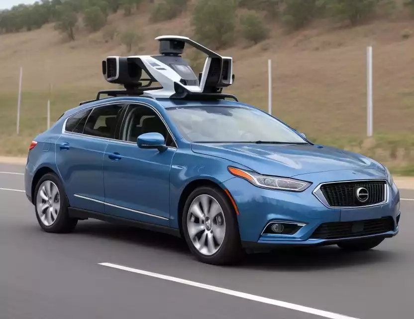
Lidar is used in autonomous vehicles like self-driving cars to detect surroundings and obstacles. The spinning lidar unit on top of a self-driving car sends out thousands of laser beams per second to precisely map the environment around the vehicle.
▨ Archaeology and Cultural Heritage :
Used to create 3D models of historical sites. Other uses of lidar include topographic mapping, astronomy, geology, forestry, atmosphere physics, and more. It can map terrain, buildings, forests, etc. with high resolution.
▨ Aerospace :
Terrain avoidance, rendezvous and docking, terrain relative navigation.
▨ Meteorology :
Wind profiling, visibility studies, boundary layer monitoring
▨ Forestry and Agriculture :
Helps in forest management and crop analysis.
▨ Flood Mapping and Disaster Management :
Rapidly assesses affected areas during disasters.
Advantages and Challenges
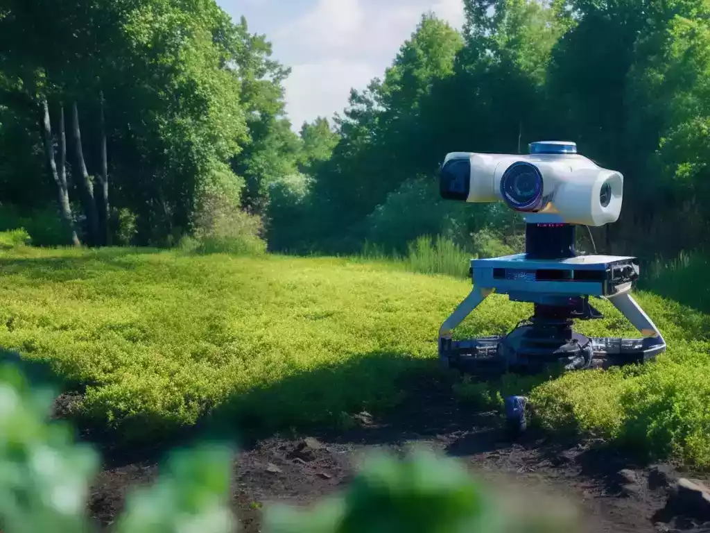
LiDAR offers advantages like :
- High Precision: Sub-centimeter accuracy for detailed mapping. High-resolution mapping and imaging capabilities.
- Environmental Sensing: Can detect terrain changes, vegetation density, etc. You can see in the dark and through rain, fog, or snow.
- Challenges :
- Struggles to differentiate some objects.
- Struggles with identifying colours, transparent surfaces, and low reflectivity targets. Lower resolution than cameras.
- Lower resolutions compared to cameras.
- Often combined with cameras and radar to complement each other.
- Typically more expensive than passive sensors like cameras. Complex data processing is required.
Future Trends in LiDAR technology
The technology’s future holds :
- Miniaturization: Smaller, more efficient LiDAR sensors.
- Data Processing: Faster and more accurate data analysis.
- Object Recognition: Improved identification of complex objects.
Recent Developments
- Reduced costs due to better laser sources, scanners and electronics.
- Higher resolution scanners. Dual wavelength systems for longer range. Data fusion with cameras.
- Machine learning for point cloud processing and object classification. Simulation systems for algorithm development.
How to use LiDAR on iPhone 14 Pro?
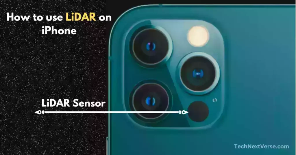
The lidar scanner is located on the back of these iPhones, next to the camera module. It helps with augmented reality capabilities and low-light photography on these models.
- Apple calls it “LiDAR Scanner” on their spec sheets.
- It can measure depths up to 5 meters away.
- Has nanosecond pulse speeds for fast measurements.
- Helps measure distances and spaces more accurately.
- Enables more realistic AR effects and objects.
- Improves autofocus speed and low-light photography.
So in summary, lidar has been included on the iPhone Pro models from iPhone 12 onwards, bringing new AR and camera capabilities.
▧ Here are the iPhone models that have lidar sensors :
- iPhone 12 Pro and iPhone 12 Pro Max – These were the first iPhones to get lidar in 2020.
- iPhone 13 Pro and iPhone 13 Pro Max – The next models with lidar launched in 2021.
- iPhone 14 Pro and iPhone 14 Pro Max – In 2022 iPhones with lidar technology.
- iPhone 15 Pro and iPhone 15 Pro Max – The latest 2023 iPhones with lidar.
Conclusion
In summary, lidar technology is an active optical sensing technology that creates detailed 3D maps of environments by precisely measuring the return times of pulsed laser light.
It provides unmatched accuracy compared to radar and camera systems. As the costs of lidar sensors decrease, we can expect to see them implemented in more and more applications, enabling precise navigation and mapping capabilities across industries. The unique capabilities of lidar make it a key technology helping bring about the future of smart cities, autonomous transportation, and advanced robotics.
FAQs (Frequently Asked Questions)
What does lidar stand for?
Lidar stands for Light Detection and Ranging. It is a remote sensing method that uses pulsed laser light to measure variable distances.
How does lidar work?
It works by sending out short laser light pulses and measuring the time it takes for the reflected light to return to the sensor. This allows it to calculate the range of the target.
Is LiDAR technology only used in self-driving cars?
LiDAR technology is used in various industries, including archaeology, forestry, and disaster management, apart from self-driving cars.
What are the limitations of LiDAR technology?
Limitations include difficulty identifying colours, transparency, and low reflectivity targets. It has a lower resolution than cameras and struggles with object recognition.
What are the advantages of lidar?
It provides highly accurate 3D data that can see through rain, fog, and snow. It has high-resolution imaging and mapping capabilities.
Is lidar better than radar?
Lidar has higher resolution capabilities than radar. But radar can measure speed better and has a longer range. They complement each other.
How expensive is lidar technology?
Costs have reduced substantially but are still higher than passive sensors like cameras. Ranges from thousands to ten thousands of dollars.
Which iPhones have lidar?
Ans : Here are the iPhone models that have lidar sensors:
iPhone 12 Pro, iPhone 12 Pro Max
iPhone 13 Pro , iPhone 13 Pro Max
iPhone 14 Pro, iPhone 14 Pro Max
iPhone 15 Pro , iPhone 15 Pro Max
How does lidar complement other sensors?
Lidar is often combined with cameras for color data and higher resolutions, and radar for speed measurement and longer range capabilities.
